Indus River Map –Discover the Powerful Lifeline of South Asia
Indus River is one of the most important rivers in the world, both historically and geographically. Originating from the Tibetan Plateau near Lake Mansarovar, it flows through India and Pakistan before emptying into the Arabian Sea. The river’s path and its extensive network of tributaries have shaped the history, culture, and economy of the region. The Indus River map provides a clear understanding of the river’s course, tributaries, and its influence on agriculture, trade, and regional ecosystems. This article explores the origin, course, tributaries, and significance of the Indus River with a detailed focus on the Indus River map.
Geological Formation and Natural Features of the Indus River
The Indus River was formed millions of years ago due to the collision of the Indian and Eurasian tectonic plates, which created the towering Himalayas. Its source lies near Lake Mansarovar in the Tibetan Plateau, and it flows through rugged mountain valleys and deep gorges in the Himalayas and Karakoram Range. The river has carved out spectacular canyons and deposits fertile alluvial soil along its course, supporting agriculture and diverse ecosystems. Its flow is mainly fed by glacial melt and monsoon rains, which shape its seasonal patterns and sustain life along its banks.
The geological formation of the Indus River dates back to the collision of the Indian and Eurasian tectonic plates. This process created the towering Himalayas and influenced the river’s steep gradients and deep gorges. Over time, glacial melt and erosion have shaped the river’s winding path through varied landscapes.
Origin and Course of the Indus River
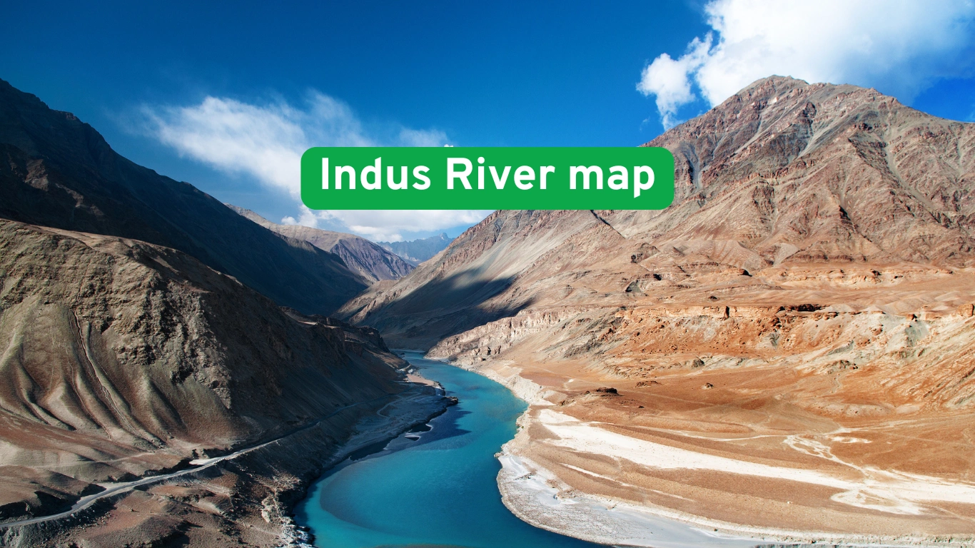
The Indus River originates from the Bokhar Chu glacier near Lake Mansarovar in the Tibetan Plateau at an elevation of about 18,000 feet (5,500 meters). From its source, the river flows in a northwestern direction, passing through the Ladakh region of India. It then enters the disputed territory of Kashmir, flowing through deep valleys and narrow gorges. After crossing into Pakistan near the Gilgit-Baltistan region, the river continues its journey southward.
The river travels approximately 3,180 kilometers (1,976 miles) before reaching the Arabian Sea. The Indus River map clearly shows how the river snakes through the Himalayas, Hindu Kush, and Karakoram ranges before entering the plains of Punjab and Sindh. Its journey through varied landscapes makes it one of the most geographically diverse rivers in the world.
| Feature | Description |
|---|---|
| Total Length | 3,180 km (1,976 miles) |
| Source | Bokhar Chu glacier near Lake Mansarovar, Tibet |
| Countries Covered | China, India, Pakistan |
| Mouth | Arabian Sea near Karachi, Pakistan |
The Indus River map shows the river’s complete course, highlighting the key geographical features and cities it crosses. Its strategic location has made it a vital water source for irrigation, drinking water, and hydroelectric power for centuries.
Major Tributaries of the Indus River
The Indus River System is supported by a network of tributaries, which contribute to its flow and sustain the agricultural and ecological balance of the region. The Indus River map outlines the left-bank and right-bank tributaries that merge into the river at various points.
The left-bank tributaries include the Jhelum, Chenab, Ravi, Beas, and Sutlej rivers. These rivers originate in the Himalayas and flow through India before joining the Indus in Pakistan. They form the backbone of the agricultural economy of the Punjab region.
The right-bank tributaries include the Shyok, Gilgit, Shigar, Kabul, and Gomal rivers. These rivers primarily originate from the Hindu Kush and Karakoram mountains and contribute glacial meltwater to the Indus.
Economic Importance of the Indus River

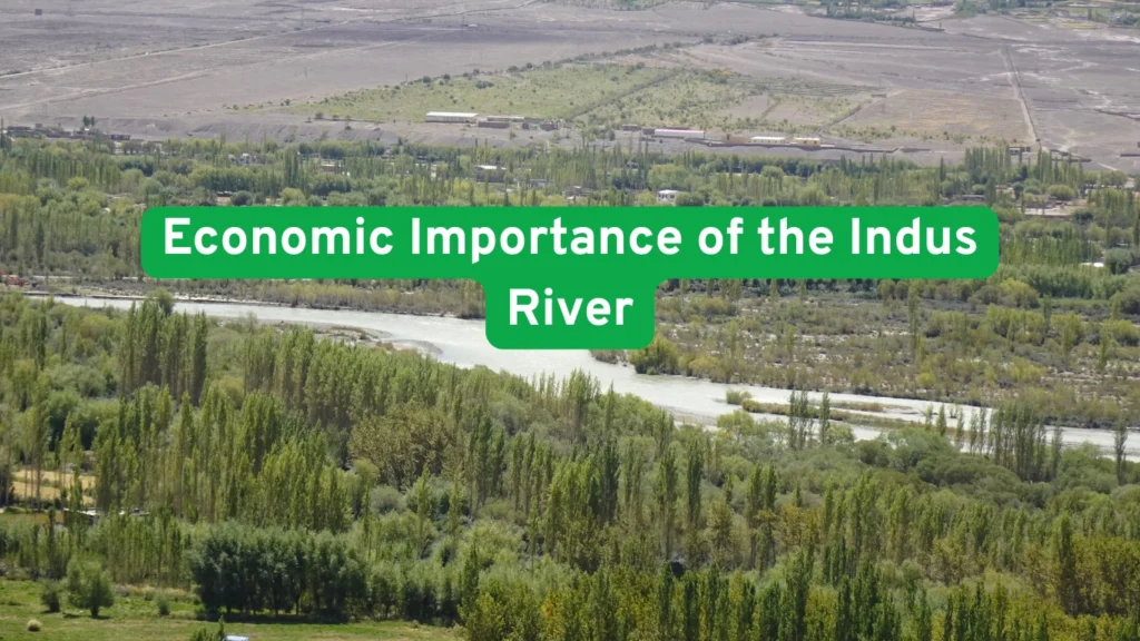
The Indus River is the backbone of Pakistan’s agricultural and economic system. The river irrigates about 17 million hectares of agricultural land, making it one of the largest irrigation systems in the world. The fertile plains of Punjab and Sindh rely heavily on the Indus for growing crops such as wheat, rice, sugarcane, and cotton.The Indus Basin Irrigation System is one of the largest integrated irrigation networks in the world. The Indus River map shows the extensive network of canals and dams that regulate the river’s flow and distribute water for agriculture and drinking.The Indus River map highlights the location of these major hydroelectric projects, showcasing their contribution to energy generation and water management.
Historical and Cultural Significance of the Indus River
The Indus River holds deep historical and cultural importance. The Indus Valley Civilization, one of the oldest urban civilizations (3300 BCE to 1300 BCE), flourished along the banks of the Indus. Major cities like Harappa and Mohenjo-Daro were located near the river, and the civilization’s economy depended on agriculture supported by the Indus’s waters.
The river is mentioned in ancient Hindu scriptures as Sindhu. The name India is derived from the Sanskrit word Sindhu, reflecting the river’s deep cultural connection. Greek historians referred to the river as Sinthos.The Indus River map helps trace the ancient trade routes and settlements that thrived along the river’s banks.
Environmental Challenges and Conservation
The Indus River faces several environmental threats. Climate change has caused glacial retreat in the Himalayas, reducing the river’s flow. Pollution from industrial and agricultural runoff has degraded water quality. Deforestation and soil erosion have increased sedimentation in the river.
The endangered Indus River Dolphin is a rare species found only in the Indus. Over-extraction of water for agriculture and hydroelectric projects has reduced the dolphin’s natural habitat. Conservation efforts are ongoing to protect the river’s biodiversity.
Conclusion:
The Indus River map stands as one of the most significant rivers in South Asia, shaping the geography, culture, and economy of the region. Its vast network of tributaries and the fertile plains it nourishes have supported human civilization for thousands of years. The Indus River map highlights its strategic course through China, India, and Pakistan, reflecting its historical and modern importance. From its glacial origins in the Himalayas to its expansive delta at the Arabian Sea, the Indus River remains vital for agriculture, hydroelectric power, and sustaining ecosystems. Understanding the Indus River map provides valuable insight into the river’s environmental, economic, and geopolitical significance.


